

Credentia Ventures is interested in understanding the following service types:
Cadastral / Land Boundary Surveying
Property boundary determination, subdivision platting, ALTA/NSPS land title surveys, easement surveys

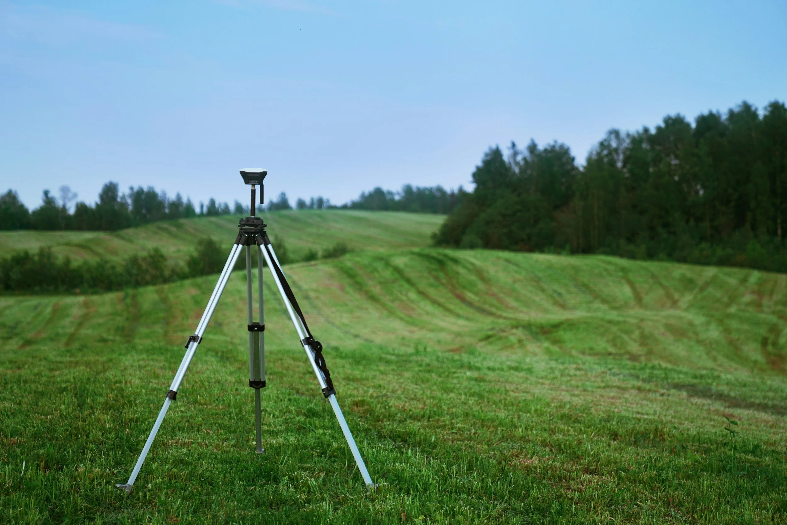
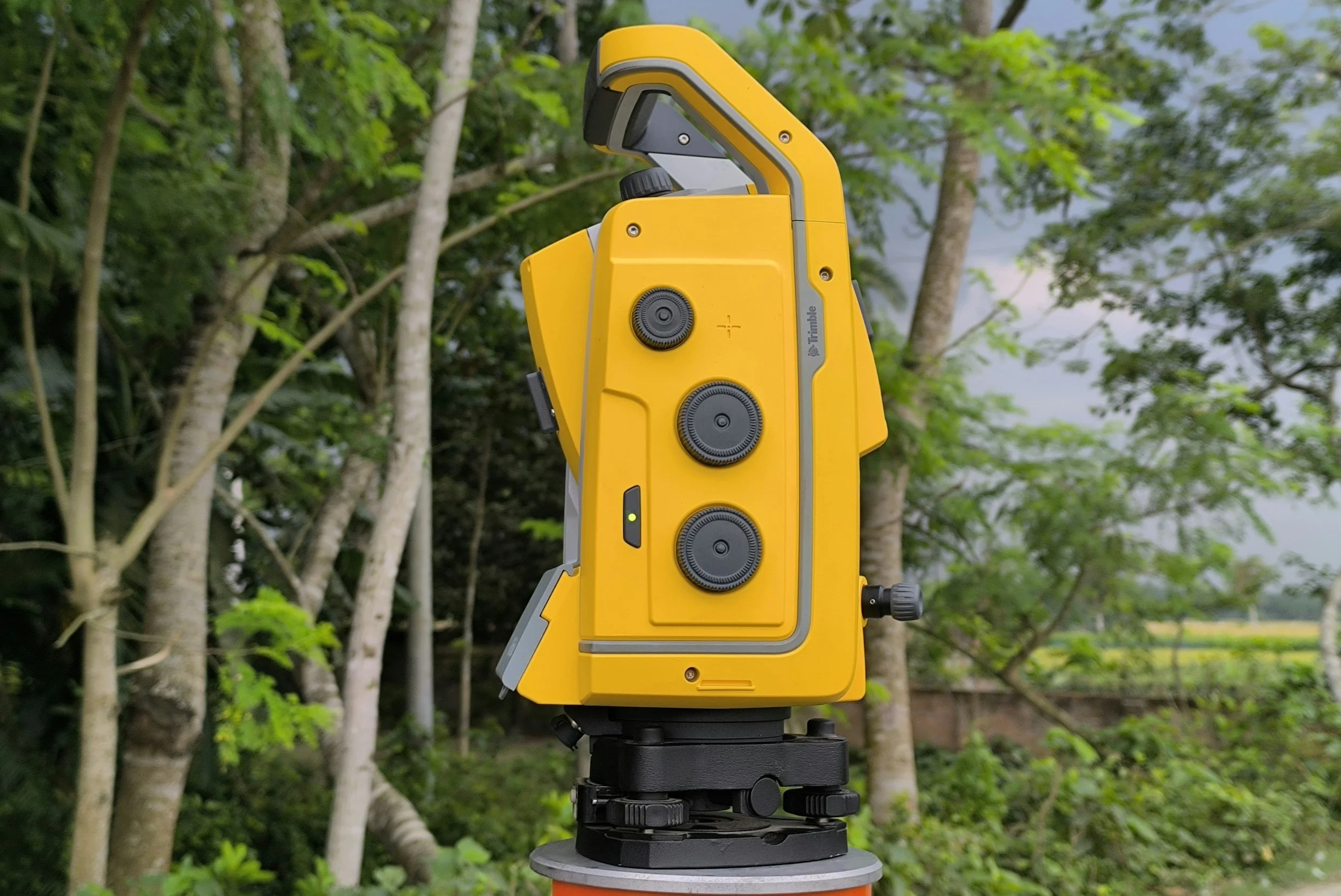
Geodetic Surveying
High-precision control networks, GPS/GNSS baselines, vertical datums, national geodetic standards
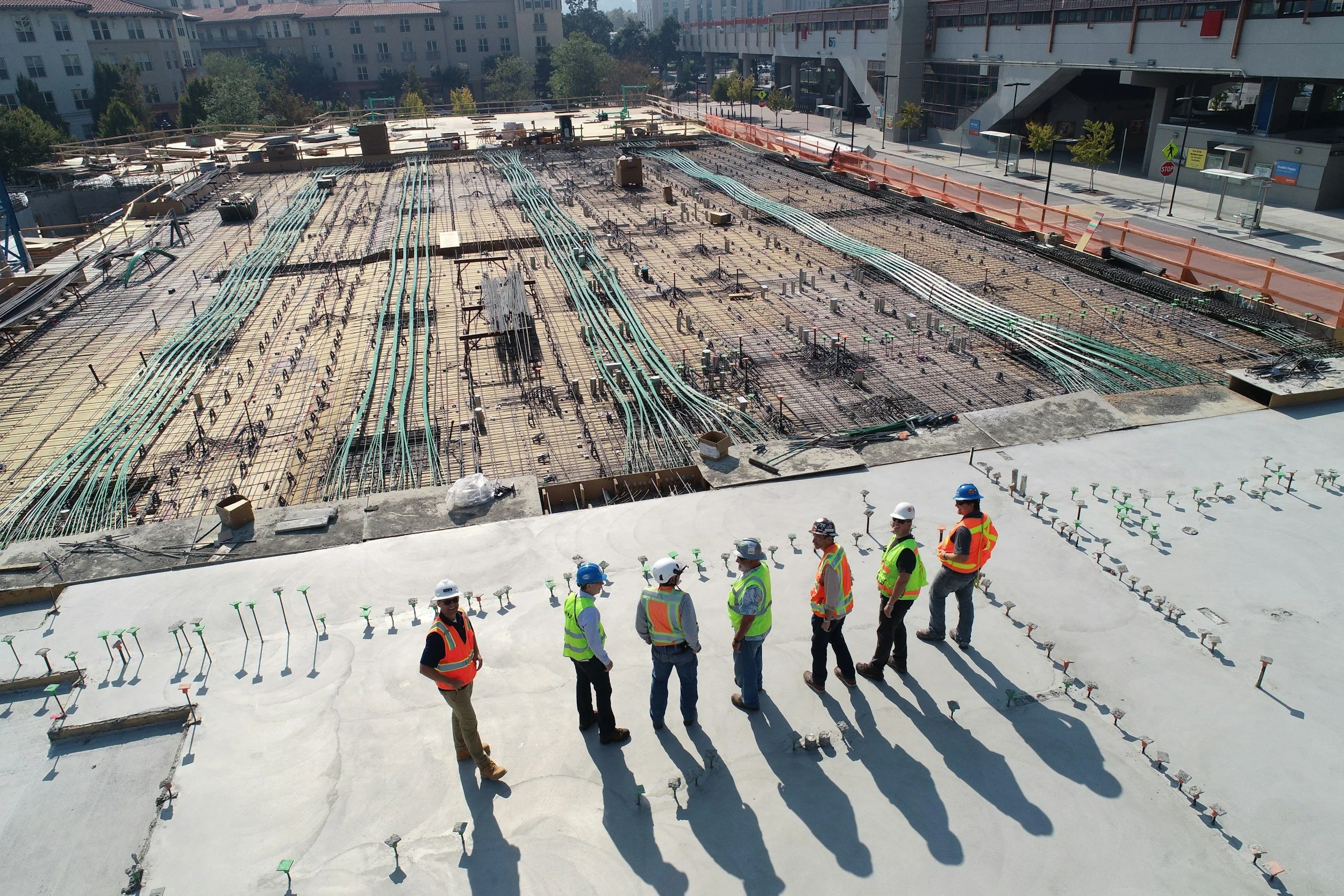
Engineering / Construction Surveying
Site layout, grading surveys, as-built surveys, infrastructure and utility surveys

Aerial Mapping
Drone/UAV photogrammetry, LiDAR acquisition, orthophoto production, topographic mapping

Hydrographic Mapping
Bathymetric surveys, waterway and coastal mapping, dredging surveys, port and harbor surveys

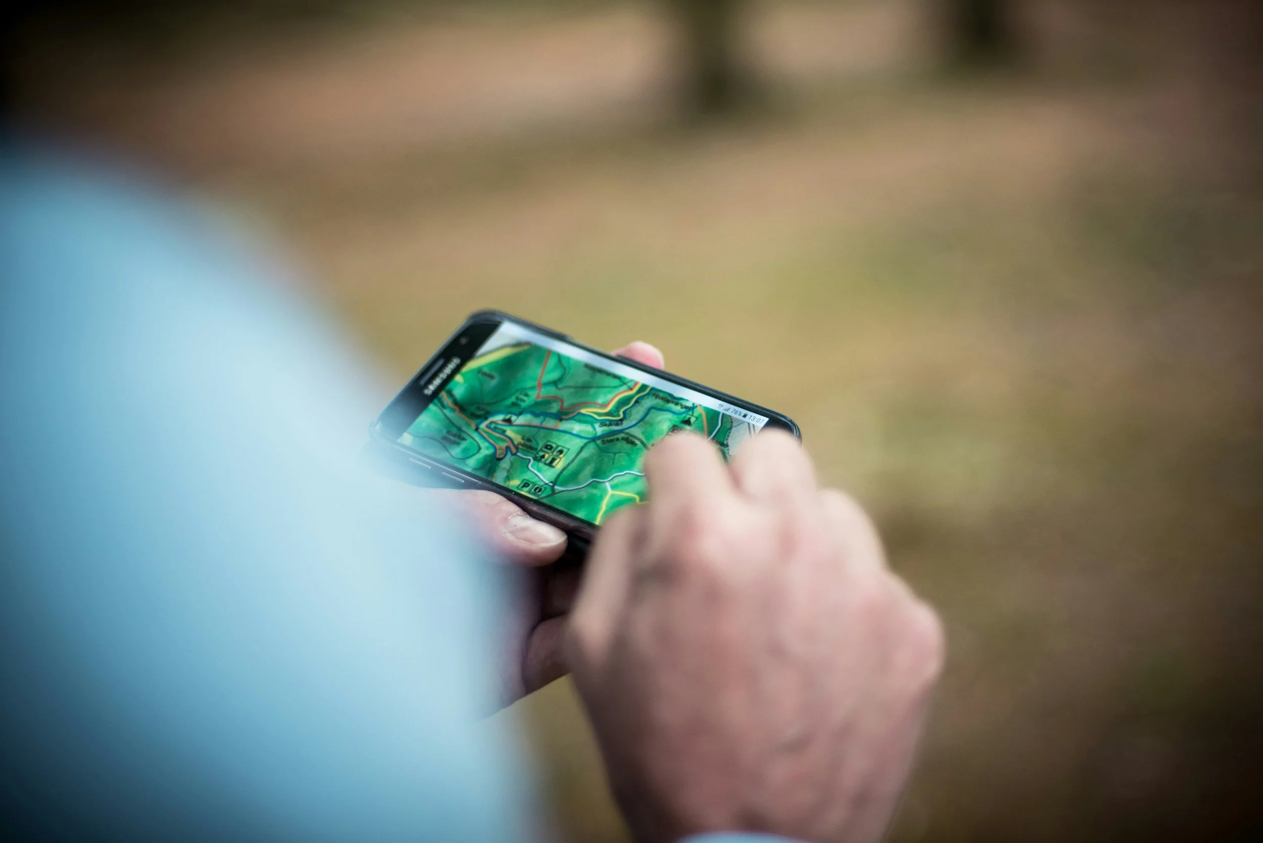
Geospatial Technology & Software
Survey software platforms, GIS tools, data processing and management solutions

BIM Modeling and Coordination
Building models that integrate structural, mechanical, and architectural systems to detect conflicts and align all project stakeholders
3D GPS Machine Control Modeling
Precise, digital terrain models that guide construction equipment automatically via GPS
Niche / Emerging Verticals
Specialized or adjacent surveying and geospatial service providers